
Google DeepMind maps forest types at 10-meter resolution
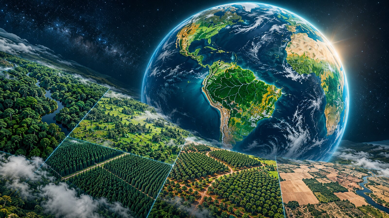
ForTy 2020 classifies every 10×10-meter patch of Earth into six forest and land-use types, while a 2017-2025 time series tracks conversions from natural forest to plantations or farms.
AT A GLANCE
Key points
- 10-meter global resolution
- Six forest and land-use classes
- 2017-2025 annual change series
- 90% forest-type accuracy in validation
What is changing?
Google DeepMind has released Forest Typology (ForTy) 2020, a global map that classifies every 10×10-meter patch of land into six categories: primary forest, naturally regenerating forest, planted forest, plantation forest, tree crops and agroforestry, and other land.
The model was trained on roughly 1.7 million labeled locations and uses AlphaEarth Foundations embeddings to detect subtle satellite signals such as planting patterns, growth cycles, and harvest rhythms.
DeepMind says validation with IIASA and WRI covered more than 9,000 randomly selected sites. ForTy identified the correct forest type 90% of the time and distinguished forest from non-forest land with 95% accuracy.
An early annual time series tracks changes from 2017 through 2025. It exposes not only tree-cover loss but also changes that conventional maps can miss, such as natural forests being replaced by plantations or farms.
The ForTy 2020 map and time series are freely available under an open license in Google Earth Engine. Potential uses include deforestation-free supply chains, conservation finance, and risk assessment under the EU Deforestation Regulation.
Explore the original sources
Source date: 22 October 2026.
Published by AI Radar: 22 Oct 2026, 18:01 (Istanbul, UTC+3). Updated: 22 Oct 2026, 19:09.
FOLLOW THE TOPIC
Topics and tags
Share your discovery.
Send this story to a friend.
Reader comments
What do you think about this development? Share your experience or question. Comments are published after editorial approval.
Your name/nickname and comment become public if approved. Read: Privacy notice.






Loading comments…